
.avif)


.avif)


.png)


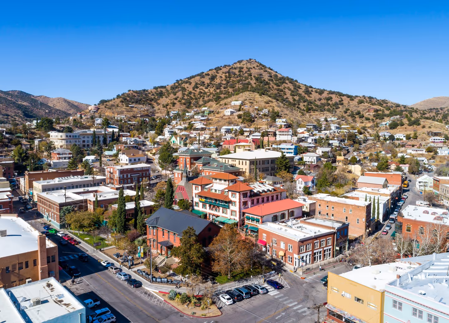
Other regions to explore


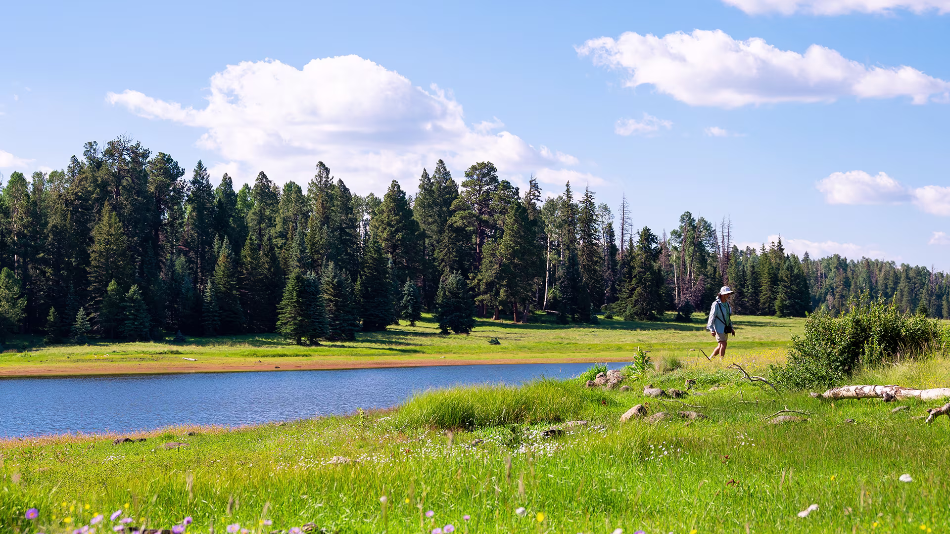
Nestled among the peaks and pines of the White Mountains and Apache–Sitgreaves National Forest are some of Arizona’s most charming towns and spectacular views. Hikers and mountain bikers can explore Pinetop–Lakeside or Show Low before embarking on the White Mountain Trail System through ponderosa pine forests and mountain meadows, while motorists can follow a twisting, turning trail used by Spanish explorers in the 1500s on the twisting Coronado Trail National Scenic Byway, which winds from Springerville and Eagar south through Alpine to Clifton.
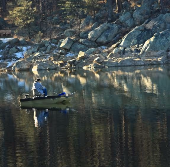
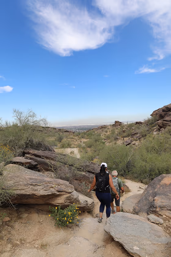
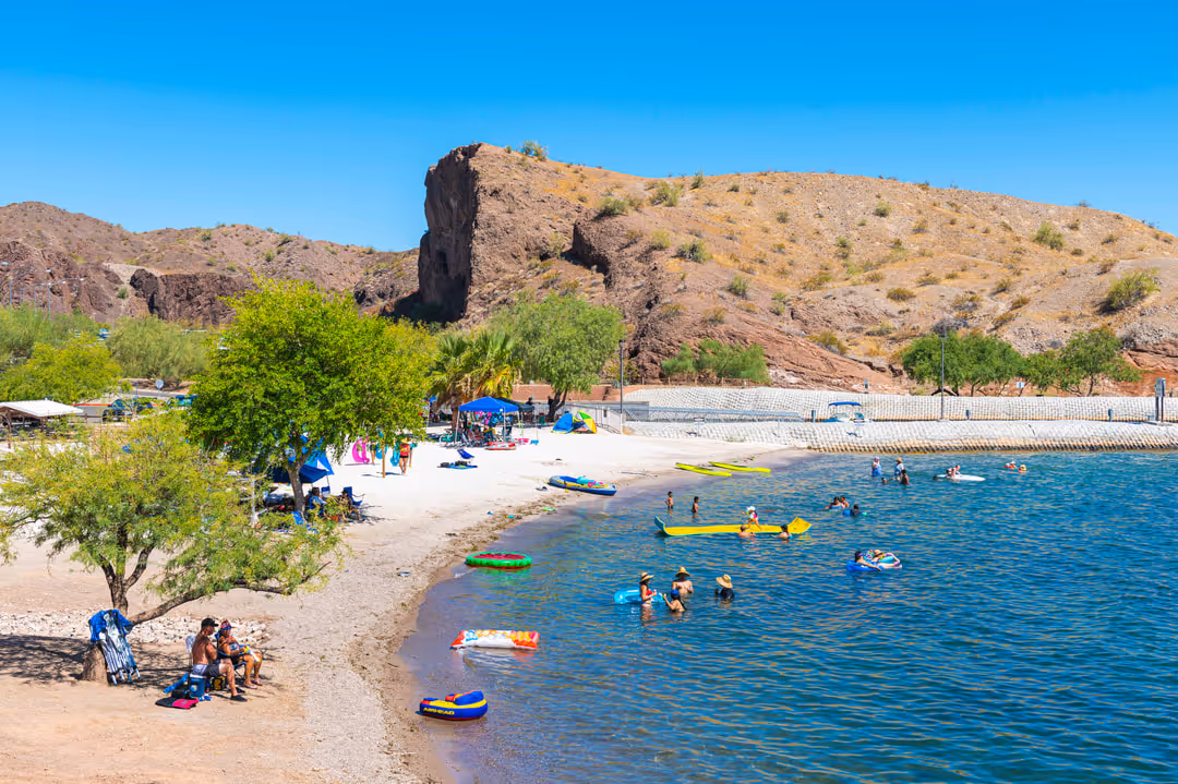
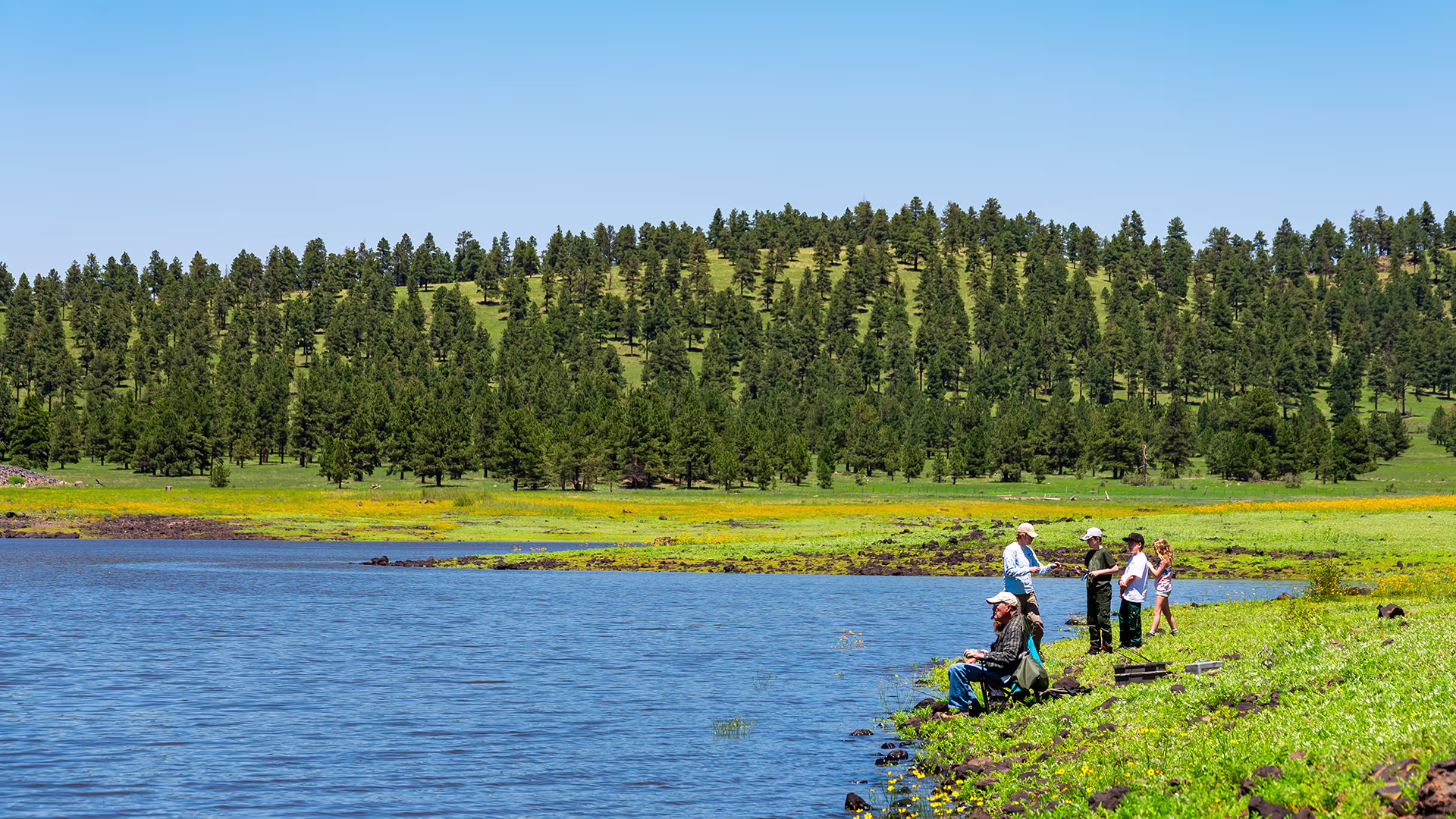
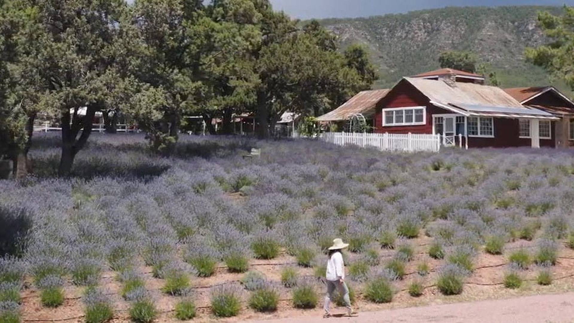
Historic mile-high mountain towns like Payson and Pine–Strawberry make for picturesque walking tours as well as gateways to the recreational adventures along the Mogollon Rim, the steeply sloped edge of the forested Colorado Plateau. Think hiking, birding, camping, horseback riding, mountain biking, hunting and fishing, and boating in alpine lakes.
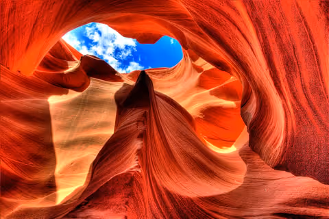
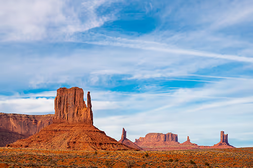
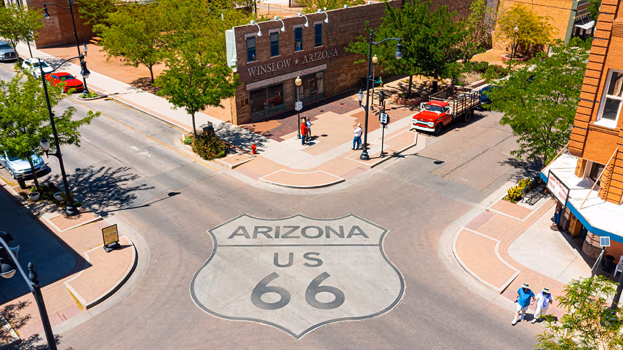
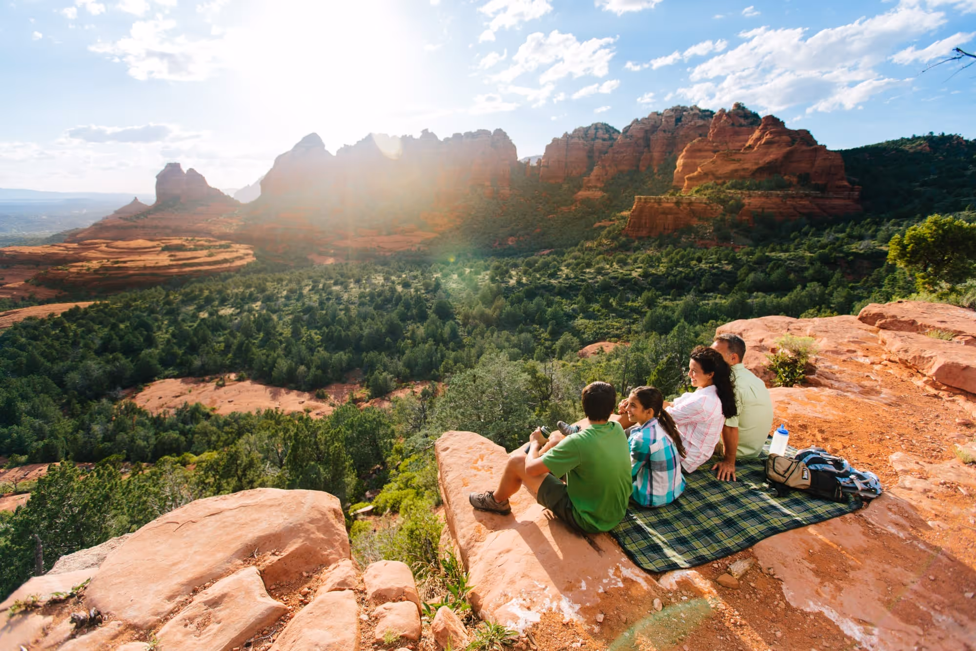
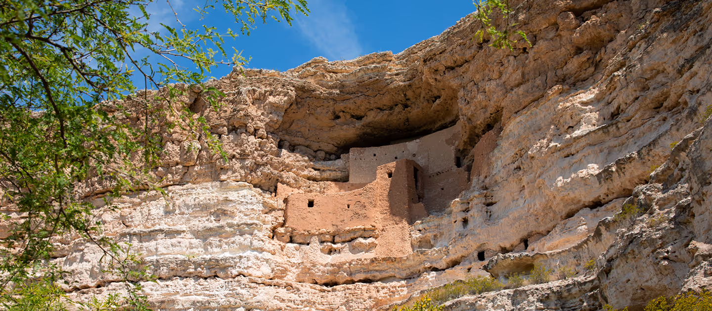
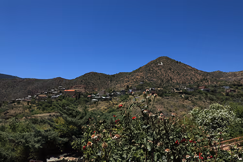
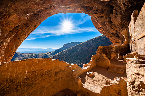
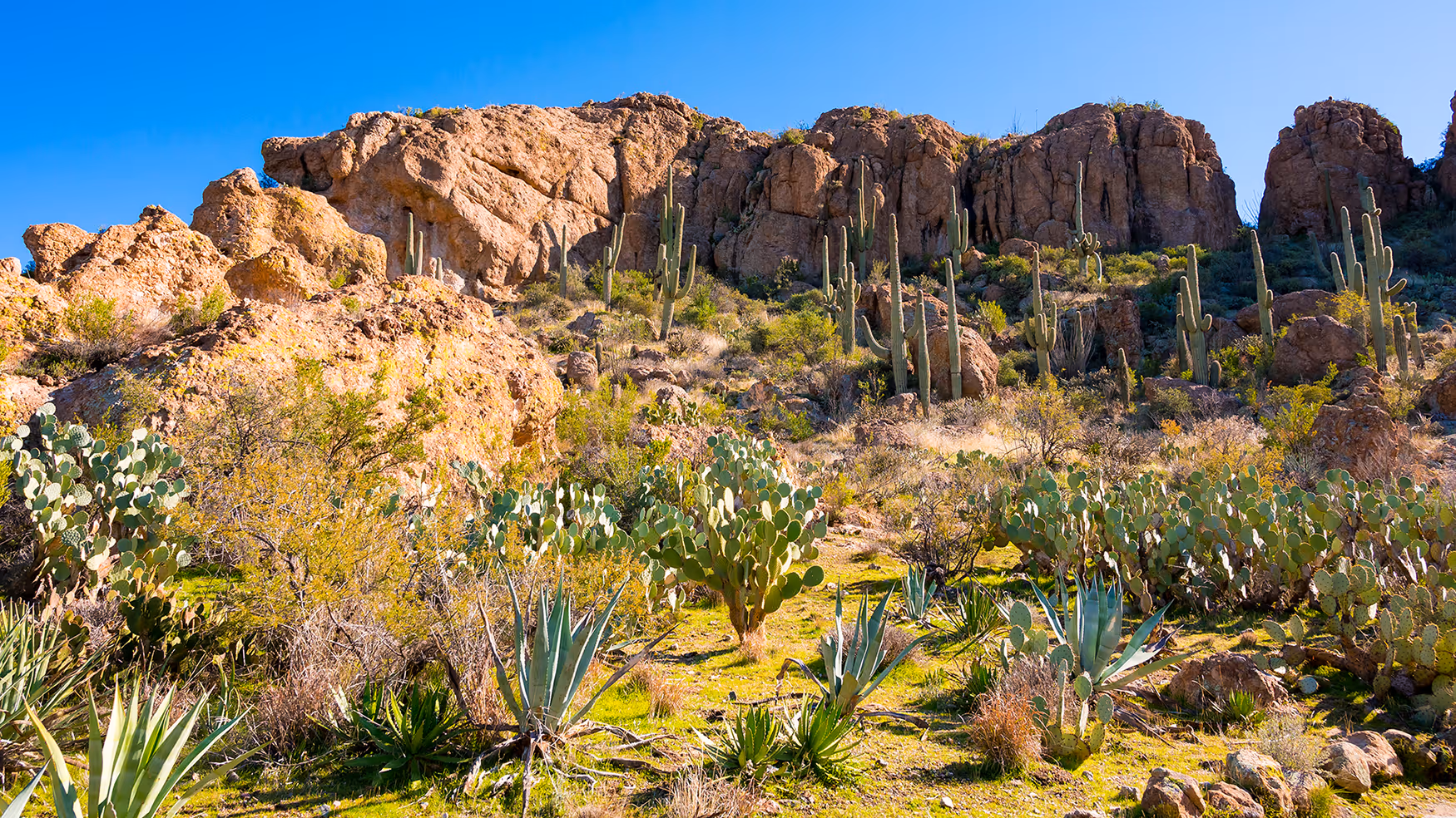
Beyond the mountains, you’ll find yourself in the thrall of red rock country, including the Navajo Nation's Window Rock sandstone cliff, and the high-desert historic mining town Superior and nearby 105-acre Boyce Thompson Arboretum, home to more than 20,000 desert plants. Or as part of your trek down the historic U.S. Route 66, stand “on a corner in Winslow, Arizona” to pay homage to the Eagles classic song. And to quote another timeless tune, it's easy to get your kicks on Route 66 — or anywhere else in Eastern Arizona.