Miles to Move You
Hundreds of miles of multi-use trails invite visitors to get out and go. Plan ahead to embark on the rim-to-rim hike through the Grand Canyon, a 25-mile trek from the South to North rims. Many hikers split the journey between two days, camping at the midway point at the bottom of the canyon. With more than a mile of elevation change, going down is as tough and rewarding as climbing back out.
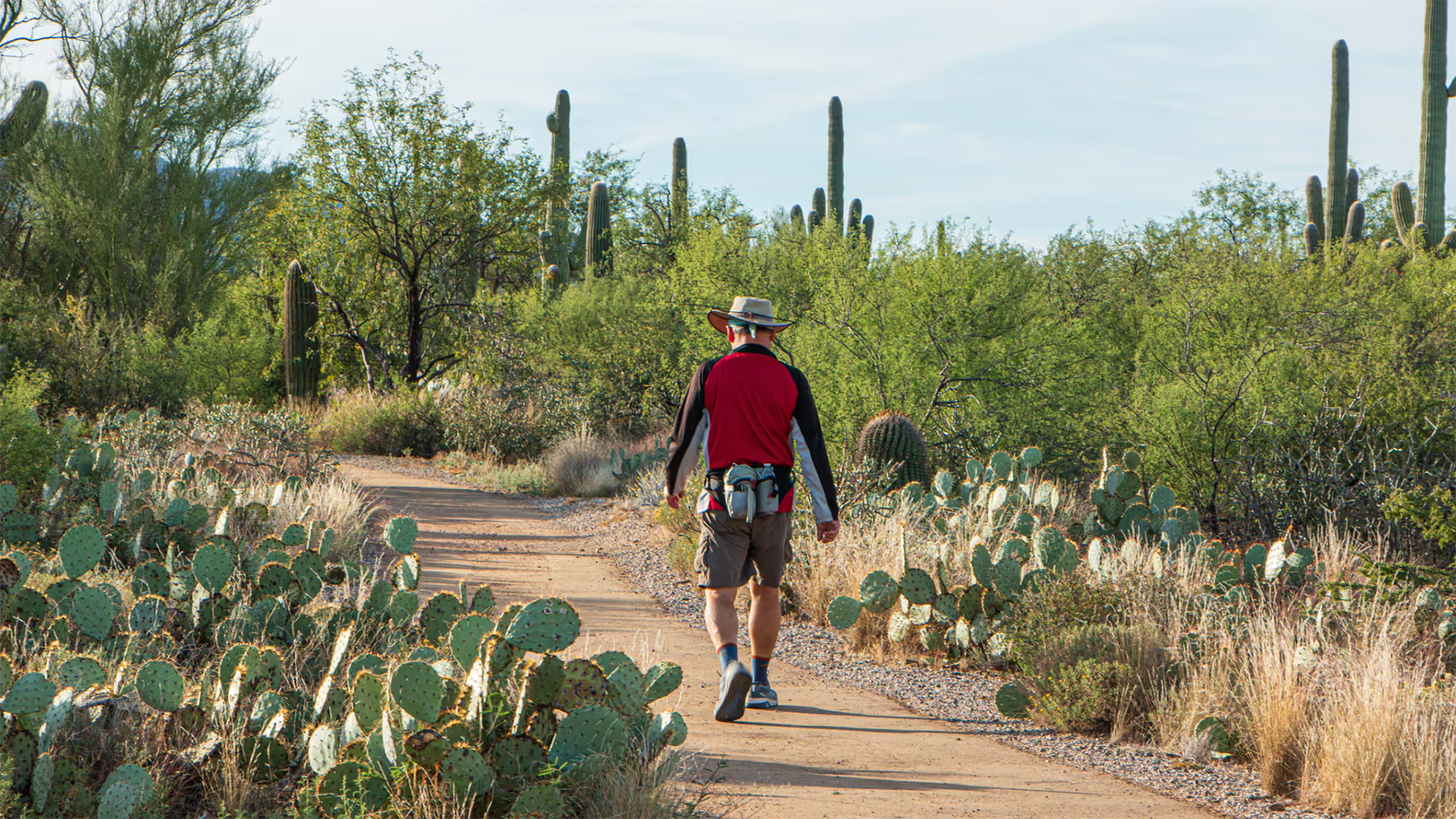
One of only 11 National Scenic Trails in the United States, the Arizona Trail winds 800 miles from the state’s shared borders with Mexico and Utah. The trail attracts hikers, mountain bikers and horseback riders eager to explore the sky islands of Southern Arizona, trek through Sonoran Desert valleys and climb through Northern Arizona’s high-elevation pine forests. Multiple trailheads and gateway cities make it easy to add a segment to an Arizona outdoor adventure.
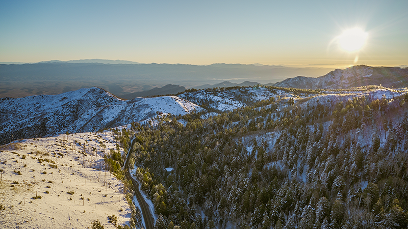
Arizona’s magnificent landscapes are also accessible from hundreds of State Park trails. Reach Arizona’s highest point, the summit of Humphrey’s Peak in Flagstaff. Explore the astonishing red-rock country of Sedona. Get a workout on the rugged trails of the Superstition Mountains near Phoenix and the remote crags of the Chiricahua Mountains in Southern Arizona.
Cyclists cover even more ground on two wheels. Many bike-friendly Arizona cities have miles of safe and maintained urban routes plus easy access to natural playgrounds. Cyclists find long ribbons of road routes and mountain biking trails that range from flat rides through the deserts to quad-burning climbs in the mountain regions.


.png)