By 1773, 37-year-old Juan Bautista de Anza was already an accomplished military officer, politician and loyal servant of the 18th-century colonial Spanish Empire. Serving as captain of the Tubac Presidio in what is now Southern Arizona, he would receive his most important assignment to date: locate an overland route from Sonora to California.
The route would give Spain an easier way to supply its outposts while also advancing its colonization of Alta California — and preempting similar efforts by Russia and England. Anza submitted his proposed route. Pleased with this discovery, Spain ordered him to repeat the trip. This time, he’d be traveling with a larger group of families in the hopes of solidifying their claim on the new colony of San Francisco.
In October 1775, having made initial stops in Mexico and Nogales to gather settlers, and with roughly 240 people in tow, the Juan Bautista de Anza expedition departed Tubac, Arizona.
The Origins of the Trail
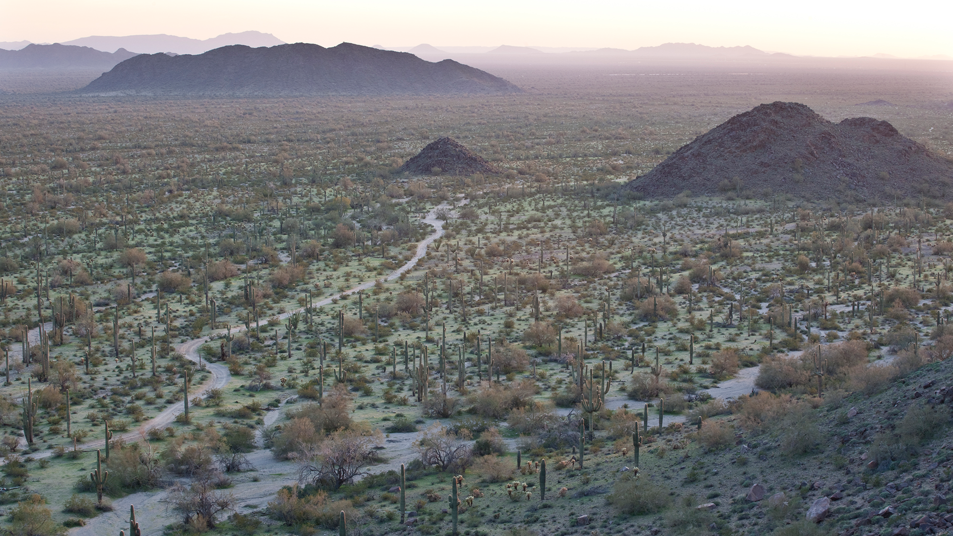
Despite giving it his name, Anza did not discover the Juan Bautista de Anza National Historic Trail. Stretching 1,200 miles from Sonora, Mexico, to San Francisco, California, the trail originated as a series of trade routes linking the region’s many tribal communities.
During both his initial expedition in 1773 and the 1775 expedition, Anza would pass through the ancestral homelands of more than 70 Tribes, including the Quechan, Ohlone, Yaqui, O’odham, Pima and Cocopah. Anza relied on these communities for guidance in locating water sources, safe passage and occasionally food and shelter. Only one member of the 1775 expedition died en route — a testament to the aid they received from these Indigenous communities.
How to Travel the Historic DE ANZA Trail Today
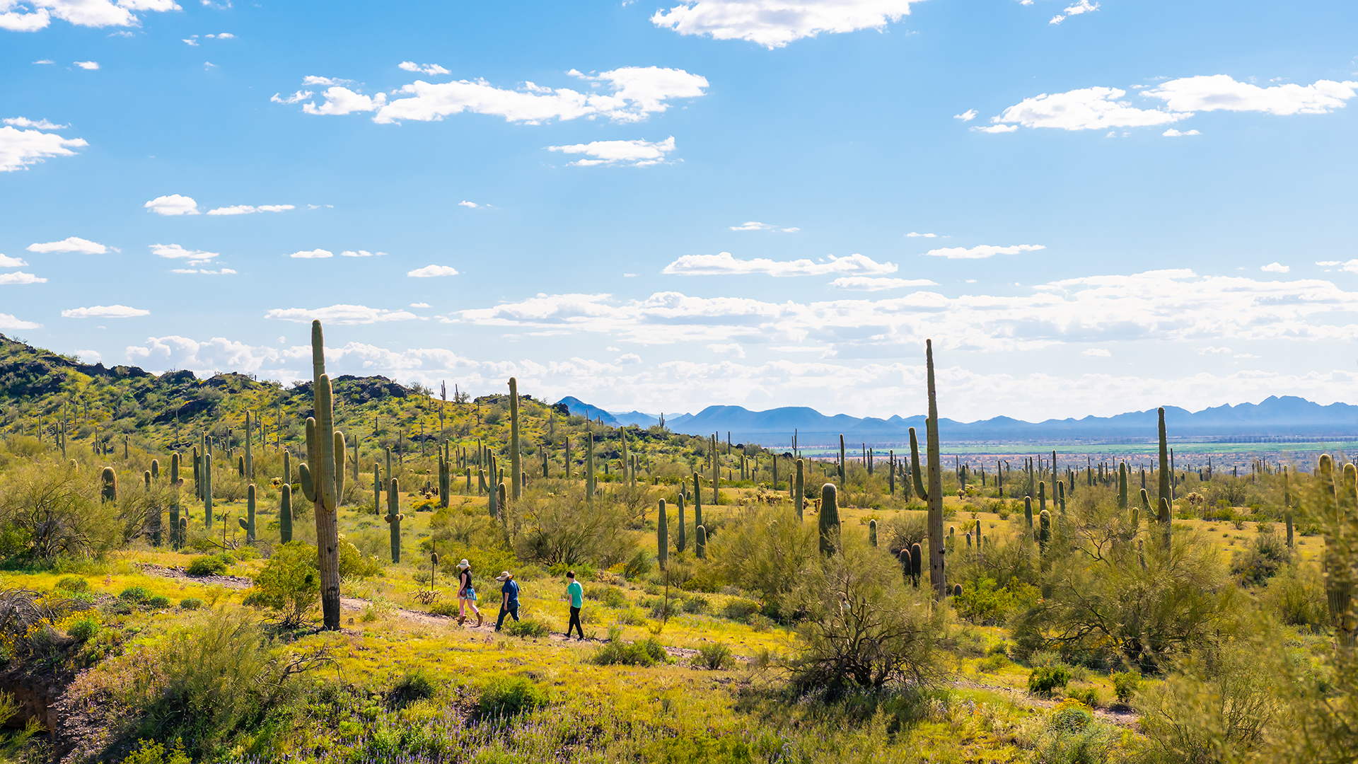
Though many of the sites are now mostly ruins, it’s possible to retrace the route taken by the Anza Expedition, stopping to explore sites they once visited and imagine the views they may have witnessed.
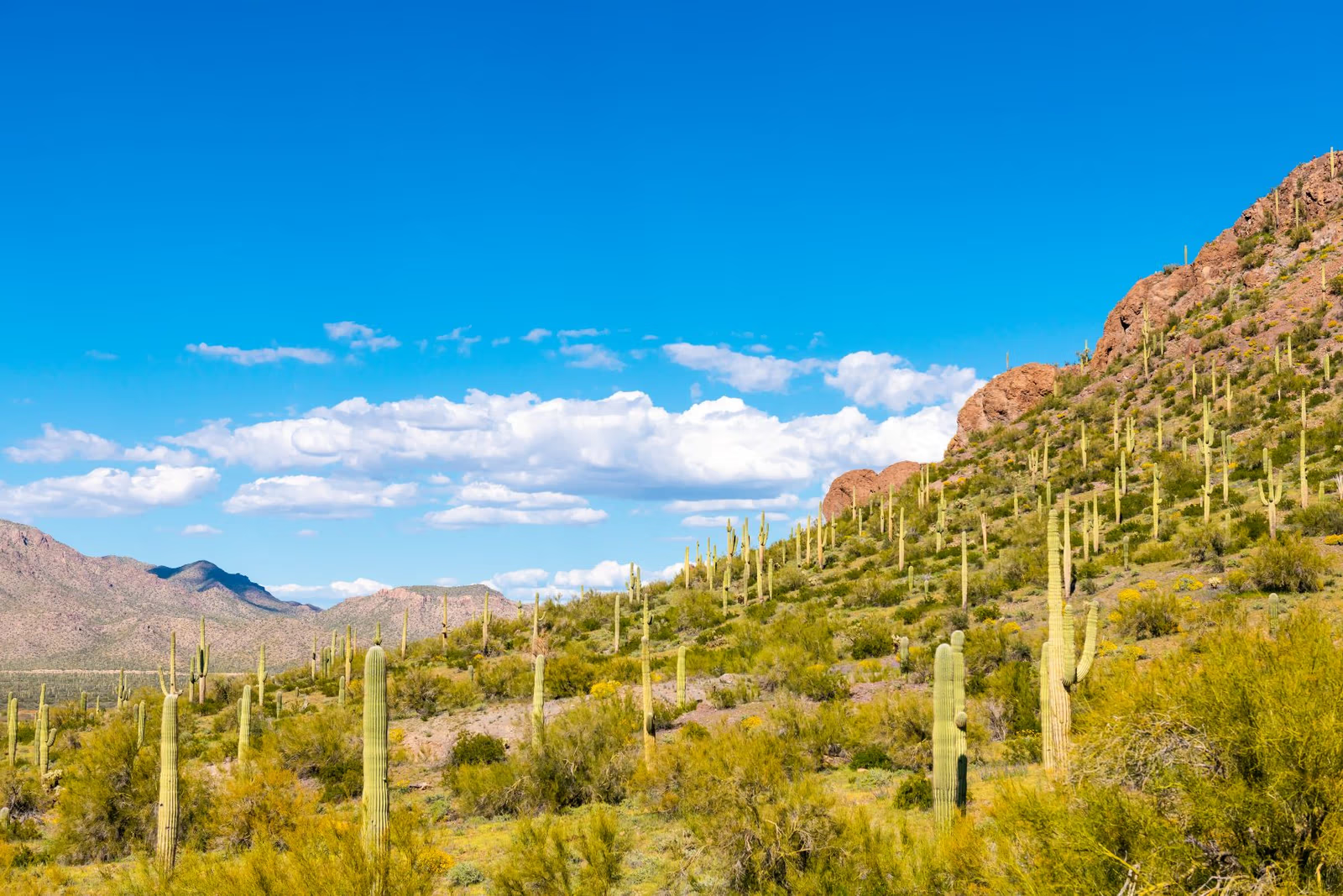
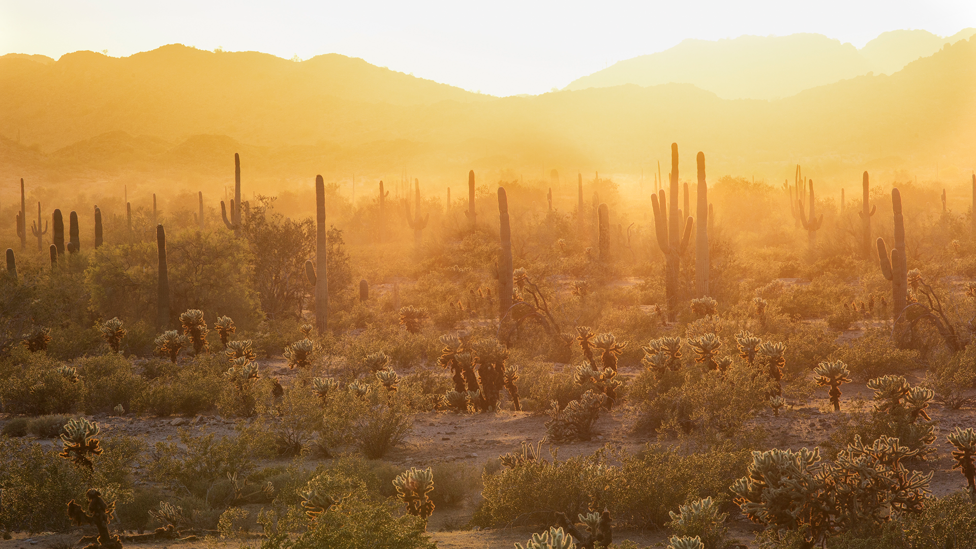
Starting in Nogales, the trail follows present-day U.S. Interstate 19 and the Santa Cruz River before turning east just north of Picacho Peak State Park, then back west along the Gila Rivertoward Yuma, the Colorado River and on to California. The journey will take you through several cities and tribal communities with landscapes filled with desert foliage and fauna.
The trail also passes through the following national and state parks and monuments within Arizona:
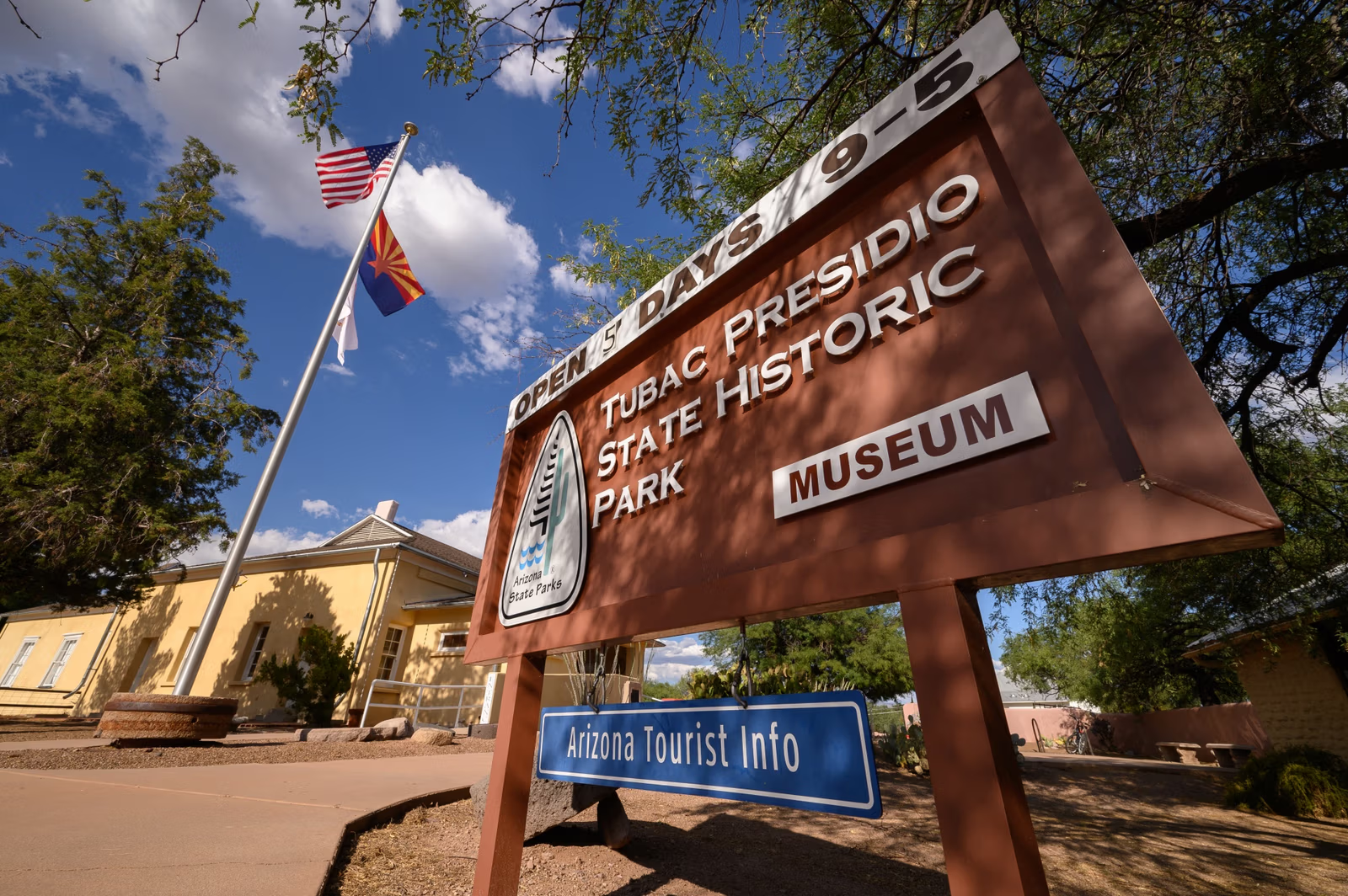
- Tubac Presidio State Historic Park
- Tumacácori National Historical Park
- Saguaro National Park
- Picacho Peak State Park
- Casa Grande Ruins National Monument
- Sonoran Desert National Monument
- Colorado River State Historic Park
Keep in mind that each of these sites has its own entrance passes and fees, as well as certain rules and etiquette to observe while on tribal lands.
The De Anza Trail in Southern Arizona and Tucson
.png)
In Arizona, the trail begins in Nogales at what’s known as the Las Lagunas and Expedition campsite; it’s currently private land but can be viewed from a short distance away (find directions here).
Moving north, the next stop is Tumacácori National Historical Park, which served as the district’s head mission in 1771. Before leaving for Tubac, the expedition stopped here for Mass at the Mission San Cayetano de Calabasa — its adobe ruins now managed by the national park. The park’s museum details the history of the Yaqui, O’odham and Apache peoples who inhabited and cultivated the land upon which the mission was built.
A 4.5-mile trail connects Tumacácori to Tubac along the Santa Cruz River. Tubachas its own share of attractions to see. If you happen to visit in late October, you’ll have the chance to enjoy a re-enactment of the expedition’s passage through the town as part of its annual Anza Days festivities.
In Tucson, stop by the Mission San Xavier del Bac. Built atop an existing Piman (Akimel O'odham) village, today, it’s part of the Tohono O’odham reservation and still an active church. In 1775, the expedition stopped to mourn their only death and celebrate three marriages.
Also in Tucson, the Anza Trail CulturalHistory Park serves as a calming respite with a garden, shaded seating and ramadas. The park also offers a Braille cable connecting its various artistic pieces and murals, along with a tactile map, an audio guide and American Sign Language videos detailing the names and tribes whose homes the trail passed through.
The De Anza Trail in Central Arizona and Yuma
Heading north and east through what is now the Gila River Indian Community, Anza met up with members of the Cocomaricopa, who offered to guide the expedition to Yuma. Near their campsite by Sears Point, catch a glimpse of petroglyphs just above the Gila River’s flood plain.
Anza’s expedition would cross the Gila River a few more times on its way toward Yuma, but the Colorado River proved the most challenging.
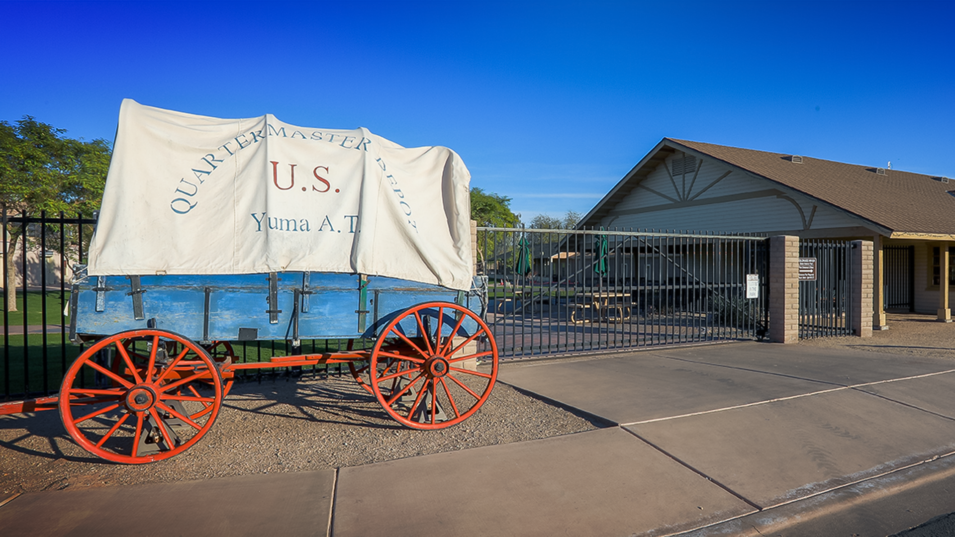
Aided by the Yuma people and their chief, Salvador Palma, the Anza expedition crossed safely — their campsite now part of the Yuma Crossing Heritage Area. Head nearby to the Colorado River State Historic Park for an interpretive exhibit of the Anza Trail.
Learn more
For more thorough details about the tribal history and important sites on the trail, we recommend the "Travel Guide to Tribes Along the Juan Bautista De Anza National Historic Trail." Written in partnership with the American Indian Alaska Native Tourism Association and the National Park Service, Visit Arizona, Visit California and multiple tribal partners, the guide highlights special points of interest, businesses and events along the trail.
Header image credit: Bob Wick, Bureau of Land Management


Tiana Velez
Arizona native Tiana Velez grew up in Tucson and spent several years in Phoenix as the digital marketing manager for the Arizona Office of Tourism. She's a former reporter and lifelong traveler, and she often can be found wandering the aisles of a bookstore, antique mall or art museum wherever she lands. Find her on Instagram at @the.wanderingmex where she posts pics of her travels and things that make her smile.